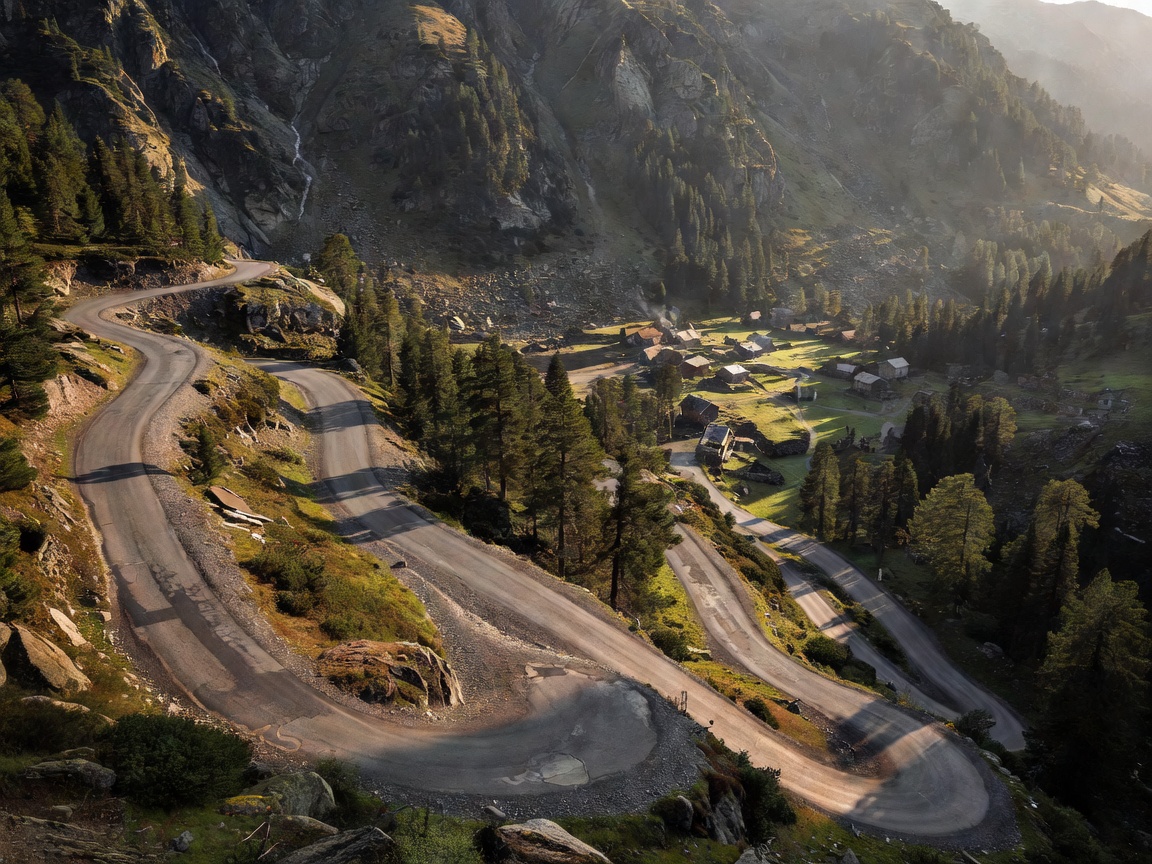
Mountain-road destinations make route choice part of the stay. A property may be reached by a broad valley road, a narrow climb or a route exposed to changing conditions. Identify the kind of terrain you are prepared to drive, then check current information before committing to the journey.
Elevation affects the whole day
Elevation is height above sea level. It can correspond with cooler temperatures, changing weather and longer travel times, but the exact conditions depend on location and date. A route that is comfortable in one season may be affected by snow, rain, fog or reduced daylight in another. Use current forecasts and official road information rather than assuming conditions from the destination name.
Think about elevation on both the outbound and return route. A high point may sit between valleys with very different weather. Confirm where you can safely stop, refuel or alter course, and avoid planning a late arrival over unfamiliar high roads. Build enough daylight and rest into the itinerary.
Road width, surface and vehicle size
Road width describes usable space for passing and manoeuvring. Local roads may narrow near villages, bridges or property entrances. Surface quality can vary and may be affected by maintenance or weather. None of these details should be inferred from a scenic photograph. Check official sources and ask the hotel about the final access section, especially where your vehicle has limited ground clearance or a wide body.
Consider gradients and turning space as well as width. A steep driveway, tight switchback or sloping parking area can be inconvenient for some vehicles. Ask for precise directions and, if useful, a simple description of the entrance and turning area. Do not expect a hotel to certify that a route suits a particular vehicle unless it confirms that specifically.
Choose a base with options
A valley town can offer more than one way to reach the surrounding roads and may have useful services nearby. A high-elevation stay can reduce repeated climbing but may increase exposure to weather or closures. A small pass-side village may be well placed for a particular route while leaving fewer alternatives if that route is unavailable. Compare these trade-offs with your dates and driving priorities.
Look at the map beyond a single highlighted road. Identify a lower-altitude alternative, a possible rest stop and a route to the next overnight location. An alternative should remain legal and suitable for the vehicle. Do not enter private roads or restricted tracks to avoid a public-road closure. Follow signs and official diversions.
Parking belongs in the terrain assessment
Ask whether parking is on a level surface, how vehicles enter and exit, and whether the area is covered or outdoors. These are questions to ask, not assumed features. Check any height, width or access-hour limitations and whether the space must be reserved. If a property uses separate parking, confirm the route from that location to reception and how luggage is handled.
Cold, precipitation and slope can affect the arrival experience. Keep essential items accessible and avoid leaving valuables visible. Follow vehicle and insurer guidance for weather preparation. A hotel’s parking label does not replace a check of the actual arrangement and the current conditions at the destination.
Seasonal access is not static
Mountain routes can have seasonal closures, restrictions or temporary disruption. Opening periods vary by road and year, so a general guide cannot establish whether a route is open on a particular date. Check the responsible road authority close to departure and again before entering a remote section. Look for official updates on closures, equipment requirements and diversions.
Have a route that does not depend on one pass or one narrow access road. If conditions worsen, change the plan early. A lower route may take longer but be more appropriate. If visibility, fatigue or weather makes driving uncomfortable, stop at a safe, permitted location and reconsider the next stage.
Route comparisons and responsible pace
A marked scenic route may offer landscape views, but it is still a public road with local traffic, cyclists and other visitors. A main road can be more predictable and connect more services; it may not be the most direct path to a chosen hotel. A smaller road can be quieter but have fewer stopping options. Compare current route information, road class, elevation profile and weather exposure.
Drive legally and at a speed appropriate to visibility, surface and traffic. Do not use public mountain roads for racing, timed runs or risky overtakes. Schedule breaks and give yourself time to reverse a choice safely if the route is unsuitable. The trip plan should adapt to the road, not the other way around.
Mountain destination checklist
- Review elevation, gradients and the approach to the property.
- Confirm road width, surface concerns and vehicle access with reliable sources.
- Ask precise questions about parking space, slope and entry arrangements.
- Check official seasonal closures, restrictions and current conditions.
- Map a legal lower route or alternate overnight destination.
- Allow daylight, rest and room to turn back or change plans.
Good for
Flexible mountain touring
Drivers who enjoy varied terrain, verify conditions and have time to choose an alternative when access is uncertain.
What to know
Scenic does not mean predictable
Weather, road width and closures vary. Use public roads normally, obey restrictions and never treat a mountain route as a racing environment.